Elevation: 10,555 ft - 11,734 ft (at the pass)
Elevation Gain: 1,539 ft (cumulative)
Dogs: Off leash
 Verdant Vasquez Pass
A trip to Vasquez Pass will fill you will solitude and make you feel like you are worlds away even though you are close to the Front Range. I ended up on this trail totally by accident. I had intended to profile Butler Gulch, which is in the same area but realized I could not take the dogs on Butler Gulch after I arrived. I really hate it when the Forest Service restricts trails. They don't seem to post this on their web site so often I don't find out until I have driven all the way to the trailhead. Fortunately for dog owners, the Continental Divide Trail is not restricted. Butler Gulch is usually crowded and the trail to Vasquez Pass was not, so perhaps I lucked out in the end.
 The Henderson Mine
 A typical trail segment on the initial switchbacks
 Cow Parsnip (Heracleum maximum)
 The intersection with the Continental Divide Trail. That one mile to Stanley mountain is way off!
 Getting above treeline. The trail travels the ridge towards the cleft in the distance.
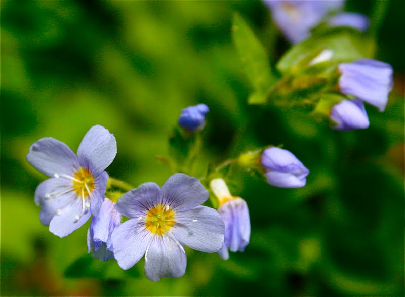 Jacobs Ladder
 Looking south
 A typical segment above treeline
 Looking southwest
 Parry's Primrose (Primula parryi)
At 2.6 miles the trail curves sharply right and crosses another small stream. This is the turn off for Vasquez Pass, which lies 0.5 miles up the drainage to the left. On the way up, I bushwhacked across the tundra to the pass, but on the way down found the partial trail that is shown on the map.
 Looking back down the trail
 Almost to the turnoff
The pass itself if small compared to others (Eccles Pass, Pawnee Pass) but was a pleasant place to lounge. Alpine Sunflowers dotted the grasses and the views to the south were lovely. Last year while hiking Stanley Mountain, I ran into hikers that were planning on bushwhacking down the other side of Vasquez Pass. They had a car waiting. Perhaps I will do that some day as well.
 Turning left and beginning to bushwhack up to the pass
 Looking back down the gully
 Looking back down the gully from a small "false pass" part way up (2.89 miles)
On the left side of the pass is a tall ridge. I had thought about climbing up, but since not a soul knew where I was, I figured it would take weeks for anyone to find me if I slipped and fell on the loose terrain. I'll save that for another day.
 On the pass looking north
 The ridge I did not climb. Note the Alpine Sunflowers
Directions to the trailhead:
From Denver, take I-70 to Hwy 40 going towards Winter Park. Drive through the town of Empire. At around 7.3 miles from the highway, there will be a sign for the Big Bend Picnic Area. You will want to make a left turn onto a frontage road here. You will know you are in the right spot if Highway 40 curves sharply away to the right in the first hairpin turn it makes going up to Berthoud Pass. Follow the road towards the large Henderson Mine Complex. In front of the mine complex, a dirt road splits off and parallels the main road. Take the dirt road. Park anywhere on the left. A small trail marker (unnamed) is on the right. This is your starting point. If you go too far, you will run into the trailhead for Bulter Gulch.
Tidak ada komentar:
Posting Komentar